
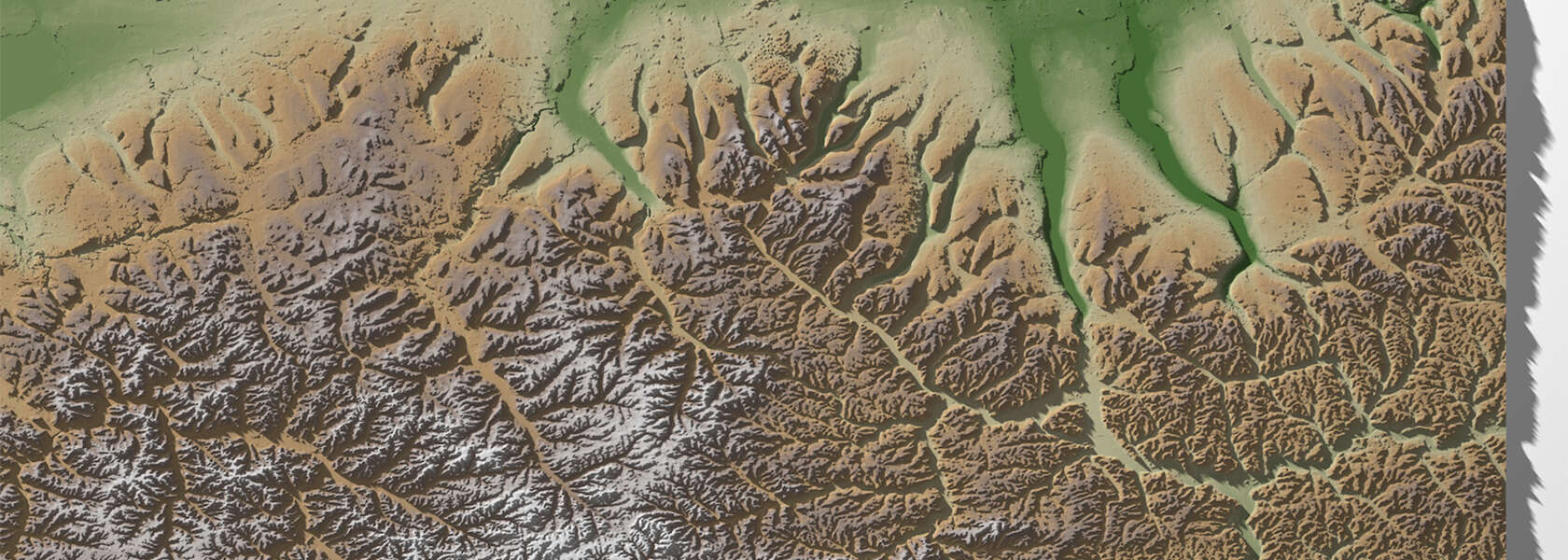
Used by researchers around the world, Whitebox Next Gen is accelerating modelling of floods, droughts and other climate risks
It can analyze an entire continent in a single afternoon.
Whitebox, a software tool designed to process vast amounts of landscape data swiftly and securely, is powering geospatial research in over 150 countries. But not many know the software, downloaded hundreds of thousands of times, was developed right here at the University of Guelph.
Geomatics researcher Dr. John Lindsay is the creator of the open-source software engine. He regularly receives emails from people amazed at just how quickly the engine runs.
One scientist put their elevation data for all of Australia into Whitebox, then headed out for coffee. Expecting it might take a few days, the researcher was shocked to find Whitebox had finished by the time they returned.
“Not a week goes by that I don’t hear a similar story,” says Lindsay, professor in the College of Social and Applied Human Sciences.
This spring, Lindsay launched Whitebox Next Gen, a complete platform rewrite of the software that is once again proving hugely popular.“I developed earlier versions of Whitebox during my PhD to solve a couple of problems,” Lindsay says. “People said, ‘Hey, this is great,’ and I just kept going.”
Open-source tools for a changing climate ‘incredibly salient’
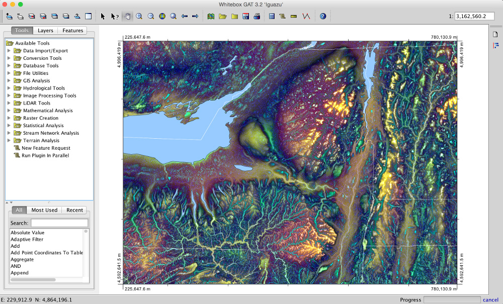
Whitebox is an analytical engine that helps researchers ask and answer questions about landscapes. Like a library of specialized plug-ins and extensions, it holds a suite of tools that can be used alongside geographic information systems (GIS), the kinds of software used to analyze large geographic datasets.
More than 700 community-developed tools can be found inside Whitebox, a number that continues to grow. Whitebox brings them all together into a single, accessible platform used by researchers, land planners, conservation authorities, educators and more.
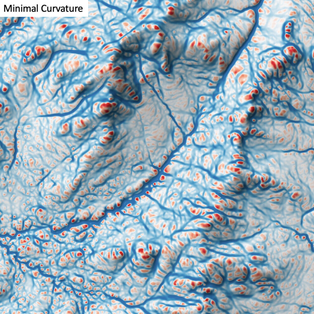
Some tools trace water flow or how light moves through the 3D world or analyze the shape of terrain. Some reveal features of the ground that might be otherwise difficult to see. Some have even been used to analyze satellite images from the moon – and from Mars.
As scientists study the climate crisis, Lindsay says the Whitebox library can help make sense of massive amounts of climate data.
Its open-source design also ensures the tools keep being applied in new ways.
“There are times when I create a tool for a niche application, thinking no one else in the world is going to use this,” Lindsay says. “Then I find out, years later, people are, in fact, applying it in ways I never envisioned.”
Take “time in daylight,” a tool that calculates how long an object or location receives sunlight. Lindsay wrote it one day following a curiosity. He later discovered a colleague in Los Angeles was using it to determine where to plant trees in the city to reduce urban heating effects. Others have used it to figure out where to install solar panels, or to assess how much solar radiation is influencing farmers’ crops.
“It’s always delightful to encounter people using the tools in ways I haven’t imagined,” says Lindsay, adding that he often stumbles upon Whitebox users at conferences or events.
Flooding is another major application he’s heard about. Today, Whitebox tools are processing 3D models of the Earth’s surface to help planners better understand where water is likely to flow and to accumulate – more accurately determining how drainage networks or roads may behave during major rainfall events.
Whitebox used for climate change prediction and more
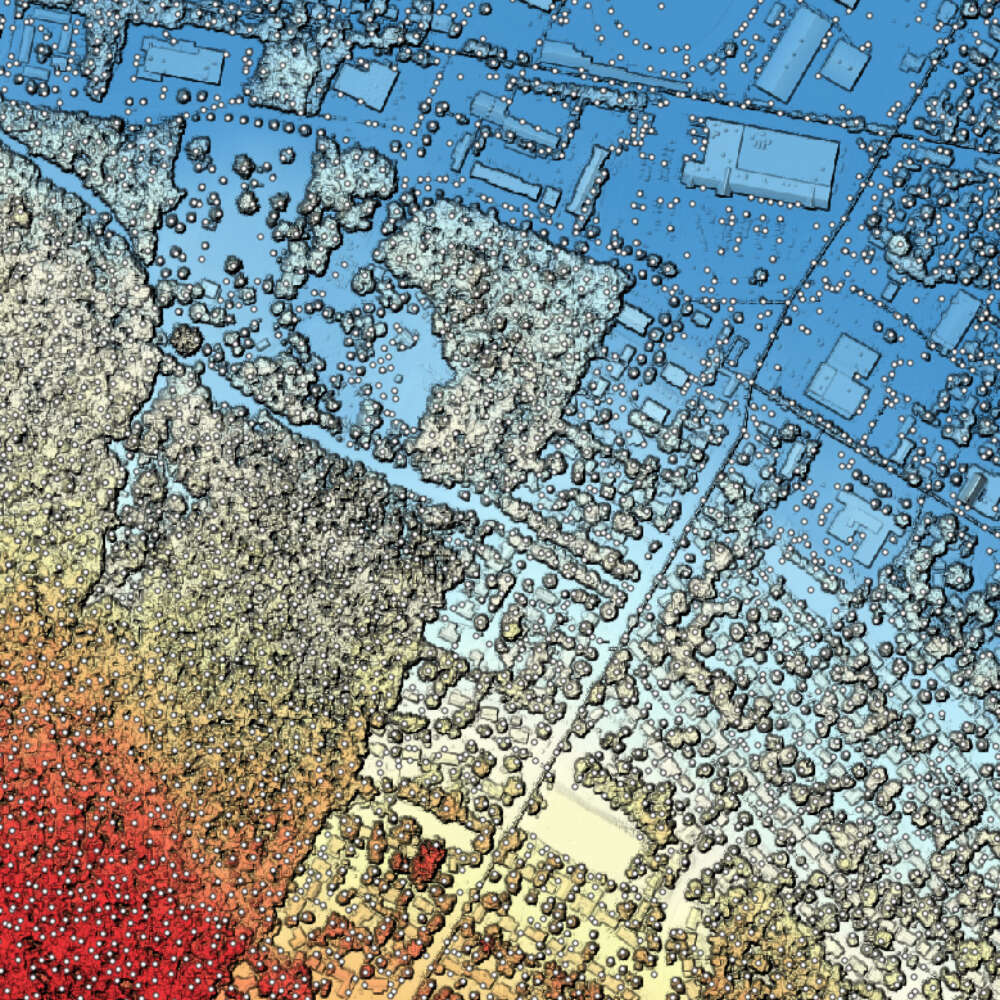
That same kind of geographic analysis is being applied to wildfire risk, helping researchers examine factors such as fuel sources, vegetation, moisture, terrain and weather, as well as document an environment before and after a fire.
“One of the biggest advancements in the software has been in offering much more advanced techniques for analyzing satellite images and documenting changes on the Earth’s surface,” Lindsay says.
And that ability to track ecological change has applications beyond natural disasters.
“The resilience of our modern food systems is very much dependent on our ability to track, say, a crop growing through the season. We are only getting better at that.”
Whitebox, as the name suggests, has always been intended to be “looked inside” as an open-access software.
On top of most tools being free, Lindsay says this open-access design has helped reduce barriers users commonly experience, allowing them to easily view code and adapt it to their own projects.
“When we think about large-scale problems humanity is facing like climate change, open-source software becomes incredibly salient.”
Canada-sovereign software needed in age of cybersecurity

To create Whitebox Next Gen, Lindsay stripped millions of lines of code to rewrite the engine in a modern programming language, built with security and speed in mind. Instead of a giant monolith, Whitebox is now a collection of smaller, puzzle-like pieces that can better adapt to a user’s needs.
Security is top of mind in an age of cybersecurity risks. Lindsay notes he wanted to maintain the project’s independence from third-party software libraries —the building blocks that developers use to construct software.
“If a tool relies on third-party libraries, changing it involves working with the people who develop those libraries,” Lindsay says. “That can be problematic. But Whitebox doesn’t rely on those.”
As governments begin to worry about who controls the technology we all depend on, Lindsay says Whitebox is uniquely positioned to meet Canada’s need for sovereign, independent software.
“There’s provenance baked in – you know where the data comes from and how it’s being processed. I think that’s critical at this moment in time.”